
Surveying is an essential field in civil engineering, providing crucial data for various projects. Understanding the classification of surveying is fundamental for professionals in this domain. In this article, we will explore purpose-based classification, the three main types of surveying, and the two fundamental types based on the instruments used. By delving into these aspects, we can gain a comprehensive understanding of the diverse applications and methodologies within the field of surveying.

Purpose-based Classification
Classification of surveying can be based on its purpose. This classification categorizes surveys according to the objectives they aim to achieve. The four main purposes of surveying are;
Geodetic Surveying
This type of surveying focuses on determining the precise positions and shapes of large areas on the Earth’s surface. It aids in creating accurate reference systems and maps for national and global mapping projects.
Topographic Surveying
Topographic surveys are conducted to gather detailed information about the natural and man-made features of a specific area. They provide data on elevations, contours, vegetation, water bodies, and other physical characteristics.
Cadastral Surveying
Cadastral surveys are performed to establish property boundaries and land ownership. These surveys play a crucial role in land administration, property taxation, and real estate transactions.
Engineering Surveying
Engineering surveys support the planning, design, and construction of infrastructure projects. They involve precise measurements to determine the location, elevation, and alignment of roads, buildings, bridges, and other structures.
Three Main Types of Surveying
Surveying can also be categorized into three main types;
Plane Surveying
Plane surveying is conducted on a small scale, assuming that the Earth’s surface is flat. It is suitable for projects with limited extents, such as small construction sites or detailed mapping of small areas.
Geodetic Surveying
Geodetic surveying considers the Earth’s curvature and is used for large-scale projects covering vast areas. It utilizes complex mathematical calculations and precise instruments to measure angles, distances, and elevations.
Photogrammetric Surveying
Photogrammetry employs aerial or terrestrial photographs to obtain measurements and create detailed maps or 3D models. It involves advanced image analysis techniques and specialized software for accurate measurements.
Classification based on Instruments Used
Surveying can be classified based on the instruments employed for data collection;
Chain Surveying
Chain surveying is one of the oldest methods, using a chain or tape to measure distances between survey points. It is a simple yet effective technique for small-scale surveys with relatively short distances.

Theodolite Surveying
Theodolites are precise optical instruments used for measuring horizontal and vertical angles. They enable accurate angular measurements in various surveying applications.

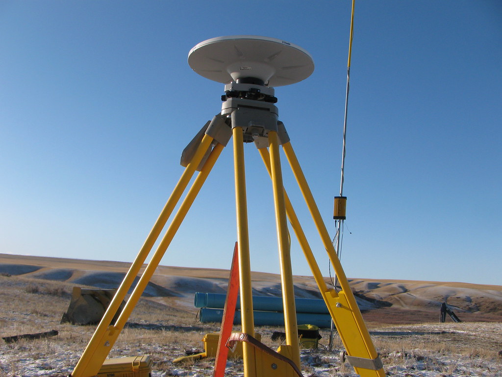
GPS Surveying
Global Positioning System (GPS) surveying relies on satellites to determine precise positions on the Earth’s surface. GPS receivers collect signals from multiple satellites, enabling accurate location determination.
Remote Sensing
Remote sensing involves the use of satellites, aircraft, or drones to capture data about the Earth’s surface. It provides valuable information for mapping, monitoring, and analyzing large areas efficiently.

Conclusion
Understanding the classification of surveying is crucial for professionals in the field. By exploring the purpose-based classification, the three main types, and the classification based on instruments used, we have gained insight into the diverse applications and methodologies employed in surveying. Each classification serves a specific purpose and requires appropriate techniques and instruments. By employing the right approach, surveyors can ensure accurate data collection and contribute to the success of various engineering and construction projects.
For further reading on the innovative world of architectural engineering, check out The Innovative World of Architectural Engineering.